|
|
| Zeile 1: |
Zeile 1: |
| {| style="width:425; font-size:90%; background:#FAFAFA; border:1px solid #bbb; margin:0px 0px 1em 1em; border-collapse:collapse;" summary="Infobox" align="right" | | {{#multimaps: -22.5472434,27.1181545}} |
| |-
| |
| ! style="text-align: left;" |
| |
|
| |
|
| <googlemap lat="-22.553782" lon="27.130566" width="425" controls="large">
| |
| -22.558941, 27.12974, Palapye, Botsuana
| |
| </googlemap>
| |
|
| |
| |-
| |
| |align=left|{{PAGENAME}} (dynamische Karte)
| |
|
| |
| |}
| |
|
| |
|
| {{Stadt in Botsuana | | {{Stadt in Botsuana |
Aktuelle Version vom 29. Dezember 2019, 22:00 Uhr
{{#multimaps: -22.5472434,27.1181545}}
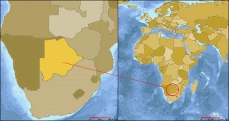
| Palapye
|
|
| Stadt
|
| Land:
|
 Botsuana Botsuana
|
| Distrikt:
|
Central
|
| Geografie
|
| Lage:
|
22° 33′ S, 27° 08′ O
|
| Zeitzone:
|
UTC+2
|
| Demografie
|
| Einwohner:
|
26.293 (2001)
|
| Sonstiges
|
|
|
Pfad: Home / Geografie / Städte / Afrika / Botsuana / Palapye
