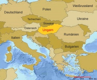
Fót
Aus Wiki.sah
{{#multimaps: 47.6098315,19.1138892}}
| Fót | |

| |
| Stadt | |
| Land: | |
| Region: | Közép-Magyarország (Zentralungarn) |
| Komitat (megye): | Pest |
| Kleingebiet: | Dunakeszi |
| Geografie | |
| Lage: | 47° 37′ N, 19° 12′ O |
| Zeitzone: | UTC+1 |
| Demografie | |
| Einwohner: | 17.633 (Schätzung 2007) |
| Fläche: | 37.4 km² |
| Bevölkerungsdichte: | 471 Einwohner je km² |
| Sonstiges | |